Vietnam supports sustainable use of Mekong River water resources

Le Thi Thu Hang, spokesperson for the Ministry of Foreign Affairs of Vietnam, made the statement at the ministry’s regular press briefing in Hanoi on Dec. 17 following news that the US has decided to fund a project to use satellites to track and publish water levels on the Mekong River.
“We will study and cooperate appropriately to make an effective contribution to the sustainable development of the Mekong River basin,” said Hang.
According to Reuters, the Mekong Dam Monitor, part-funded by the US State Department, uses data from cloud-piercing satellites to track levels of dams in China and other countries.
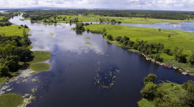
The Mekong River is one of the largest and most biodiverse rivers in the world. Flowing almost 5,000 km from China to Vietnam, the river is a transboundary resource of significant socio-economic, environmental and cultural value. It provides a vital lifeline for millions of people living in the basin, supports irrigation, generates energy and helps conserve ecosystems.


